
IMD study finds north India drying out and the peninsula turning wetter
A peer-reviewed paper in the weather department's journal Mausam redraws India's climate map across seven decades and flags sowing and harvest timing in the Gangetic plains.
The Global Sun Desk ·
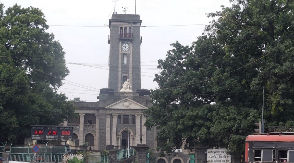
Large parts of northern India have become hotter and drier over the past seven decades, while the southern peninsula has become wetter, according to a study published in Mausam, the India Meteorological Department's peer-reviewed journal. The paper, made public on Friday, 23 October, was written by scientists at IMD and at Pune's Indian Institute of Tropical Meteorology (IITM).
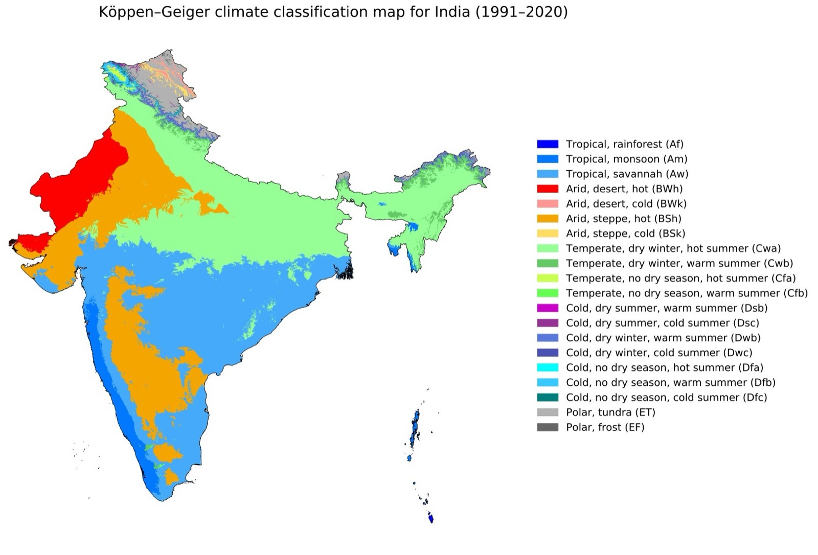
Titled "Identifying the climate zones shifts of Indian meteorological subdivisions: insights from historical records", it charts how India's climate zones moved across consecutive 30-year spans, from 1951-1980 to 1991-2020, using the department's own observations. It tracks four zones: hot semi-arid, tropical savannah, tropical monsoon and temperate.
North-west and the Gangetic plains
In north-west India the hot semi-arid zone grew from about a quarter of the region's area to nearly a third. The temperate zone shrank from roughly a quarter to under a fifth. Put another way, an area equal to about 7 per cent of the region has slipped into a drier category as temperatures rose and rainfall fell.
The boundary of the dry zone, which once stopped around western Uttar Pradesh, has moved east into the eastern part of the state. Lead author Ananya Karmakar, a scientist at IMD Pune, said the eastward push of the dry zone needs close monitoring, since sowing and harvest schedules in a major farm state could be affected.
East of that, the picture is also changing. Gangetic West Bengal has moved into the temperate zone, and the tropical savannah zone in the Northeast shrank from about 18 per cent of the region to 12 per cent. The temperate zone now takes in over four-fifths of the Northeast, compared with about three-quarters before, a change the authors tie to rising maximum temperatures.
A wetter peninsula
The peninsula moved the other way. Its hot semi-arid zone shrank from around 30 per cent of the area to 16 per cent, mostly turning into tropical savannah, which now covers about three-quarters of the peninsula.
Rice and the Pacific
The study also looked at rainfall over Gangetic West Bengal and Bihar, which fell between 1981 and 2020. The authors link this to the Victoria Mode, which they describe as a recurring North Pacific cycle of warmer and cooler sea water. In one phase, they say, it pulls moisture off the Gangetic plains and sets up high pressure over Bengal and nearby areas, which suppresses rain.
Rajib Chattopadhyay of IITM Pune said that much of this year's rainfall shortfall in east and north-east India is due to El Nino, but that the decline in Bengal and Bihar had been under way for four decades. East and North-East India recorded the country's largest regional shortfall this monsoon, at 25.6 per cent below normal, with Meghalaya 60 per cent short, Bihar 32 per cent and Assam 28 per cent, EastMojo reported.
The authors warn that the shifts could affect paddy cultivation, including when farmers sow and harvest, and strain food security, water supplies and livelihoods. They suggest that long-term farm planning should take the Victoria Mode and similar ocean cycles into account. The paper is a historical analysis of observed data rather than a forecast.